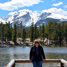

While my husband and I were visiting Crested Butte, Colorado, at the end of September -- click here, here and here, to see those posts, we decided to take a side trip to The Black Canyon of the Gunnison National Park. This was going to be our second visit to this unique national park. We visited it in 2016 in late November--click here to read my post about that visit-- when we celebrated Thanksgiving in the towns of Telluride, Ouray, and Ridgway in SW Colorado. At that visit, the only section of the national park that was open was the area around the visitor center. The rest of the road and trails were closed due to snow and ice. We vowed to come back someday to see the rest of the park and were happy to be able to visit it again at this time. (All photos will enlarge when clicked on)

Driving south-west from Crested Butte on US 50 to CO 347 it took us an hour and 45 minutes to reach the main entrance of the park. Along the way, I had my first glimpse of the Gunnison River that flows through the canyon.

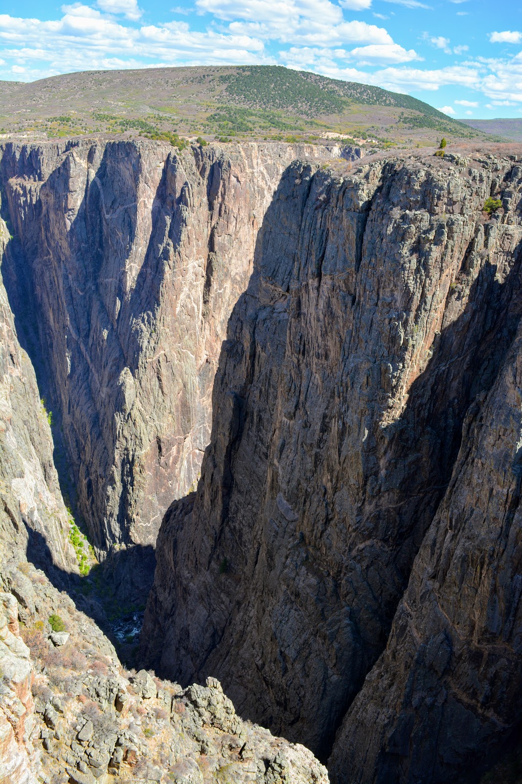
The first stop in the park, Tomichi Point, shows the impressive, steep, deep and narrow canyon. The park protects the deepest 14 miles of the Black Canyon gorge, about 75 miles upstream from the Gunnison's junction with the Colorado River.

A placard at this stop shows the eleven more viewpoints that are ahead in the park a total 6-mile drive.

The first viewing platform in the distance, as seen from the park's visitor center window. At the visitor center, we enjoyed seeing exhibits and a movie about the Black Canyon of the Gunnison and the history of its explorers and the attempts to navigate the Gunnison River and build a railroad at the bottom. You can read more about the canyon's history on this link.

At each of the eleven stops, there is a trail leading to a viewing platform that allows for safe spectacular views down into the canyon.

Black Canyon of the Gunnison exposes you to some of the steepest cliffs, oldest rock, and craggiest spires in North America.

With two million years to work, the Gunnison River, along with the forces of weathering, has sculpted this vertical wilderness of rock, water, and sky.

The Black Canyon is so named because its steepness makes it difficult for sunlight to penetrate into its depths. As a result, the canyon is often shrouded in shadow, causing the rocky walls to appear black. At its narrowest point, the canyon is only 40 ft (12 m) wide at the river.

The canyon has some of the world’s oldest exposed rock — Precambrian or “basement” rock that is nearly 2 billion years old!

My husband peering over the side at one of the viewpoints.

Each stop along the way is named and has the length of the trail leading to the viewing platform.

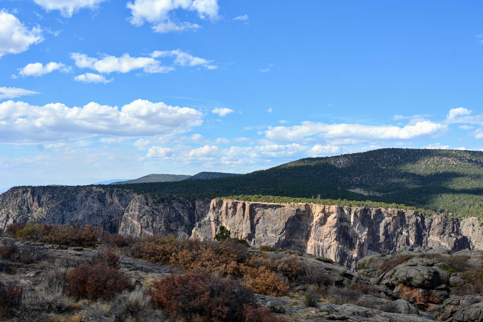
The Painted Wall section of the Black Canyon of the Gunnison is the tallest sheer cliff in Colorado at 2,250 feet (690 m). Lighter-colored pegmatite dikes are clearly visible in the rock walls.


The Gunnison River drops at a far steeper pace than the Colorado River in the Grand Canyon. At its steepest part, the river drops 240 feet per mile.

The elevation of the top of the rim of the canyon is almost 8,000 feet, and the canyon descends 2,000 to 2,722 feet above the swift and turbulent Gunnison River below. That depth is near twice the height of the Empire State Building!

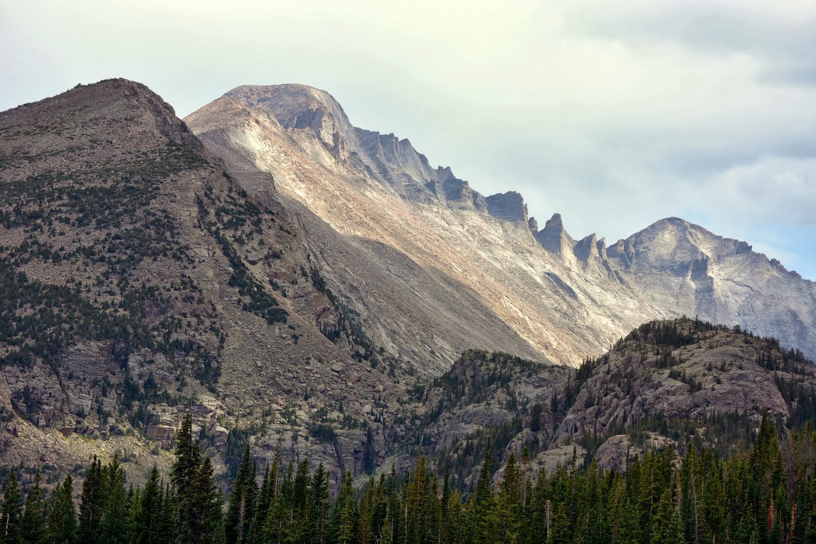
You can see mountain ranges in the distance from portions of the rim.

There are unmaintained hiking trails on the north and south rims of the canyon, which take about two hours to hike down, and four hours to hike back up.

All inner canyon descents are strenuous and require Class 3 climbing and basic route finding skills, plus an official permit. Most visitors to the park view the canyon by the various scenic overlooks.

On this visit, we were able to drive down to the Gunnison River by taking the East Portal Road inside the park. This provides access into Curecanti National Recreation Area where camping, picnicking and fishing are available.

The road is extremely steep --16% grades--with hairpin curves.

Down, down, down, we descended...

...until we reached the banks of the Gunnison River.

Here we were able to park and walk along a portion of the river...

..and admire the views looking up!
There are trails to hike on the bottom of the canyon, but they require permits and more time than we had.
We spent almost the entire day at the rim of the Black Canyon of the Gunnison, driving and then hiking to all of its magnificent viewpoints...

..and knowing we had an almost two hours drive back to Crested Butte, we left the area to return to the town for a late dinner. We were so happy that we were finally able to see the entire national park from the south rim and the bottom up. It certainly was one of the most unique parks we have ever visited!
On my next post, I'll show you the Blue Mesa and the very unusual topography of the Curecanti National Recreation Area that we passed along the way.

I'm linking this post to the following blog events:
Amaze Me Monday, Mosaic Monday, All Seasons, Blue Monday, Through My Lens Monday, Inspiration Monday, Blogging Grandmothers, Hearth and Soul Link Party, You Are the Star Blog Hop, Good Random Fun, Nature Notes, Grand Social, Travel Photos, Photo Tunes, Happiness Is Homemade, Tuesday Treasures, Pictorial Tuesday, Our World Tuesday, Ruby Tuesday, Tuesdays With A Twist, Party in Your PJ's, Wordless Wednesday, Nanahood WW, Oh My Heartsie Girl's Wonderful Wednesday, Outdoor Wednesday, Words On Wednesday, Whimsical Wednesday, Your Whims Wednesday, Wednesday Around the World, Wonderful Wednesday, Share Your Cup, Little Things Thursday, A Blogging Good Time, Thankful Thursday, Thursday Favorite Things, Thursday Traffic Jam Weekend Linky, Pretty Pintastic Party, Friendship Fridays, Friday Photo Journal, Skywatch Friday, Sweet Inspiration, Pink Saturday, Saturday Critters, Over the Moon, Happiness Is Homemade, Wandering Camera (monthly-last Thursday of the month)