Showing posts with label Native Americans. Show all posts

Monday, May 1, 2017

Chief Colorow and Colorow Cave

Colorow Cave
When I was a child growing up in Brooklyn, New York, there were the ruins of an old house located a few blocks from my house. Built around 1675, it was the remains of one of the original Dutch settlers in that area of Brooklyn, which was known as the town of Flatlands at that time. Fortunately, when developers came to build more houses in the area in the late 1950's, and that house was slated for demolition, it was dismantled and reconstructed in the Brooklyn Museum to preserve it for all time as part of Brooklyn's history. Remembering this house, the Jan Martense Schenk House, which you can read about more on my blog post--here--was the beginning of my love for local history.  I've always been curious to learn more about the peoples and places that came before me. 

When my husband and I moved to Colorado four years ago, we joined our community's historical society and the History Colorado Center. As Colorado became a state in 1876, its history is relatively new, and we were excited to learn more about it.

Please Click on to enlarge--Photos from a 2016 exhibit at Hiwan House, 
Evergreen Colorado--Chief Colorow on the Left

Native Americans lived in Colorado for thousands of yearsThe earliest traces of Paleo Indians, date back around 13,000 years ago, from artifact evidence found at an area called "Lamb Springs" near Littleton, Colorado. Click here to read my post about my visit to Lamb Springs.  One of the first recorded Native Americans, that was influential during the early 1800's, was Chief Colorow, a member of the Ute Native American tribe that frequented this area that is now known as Jefferson County, along many other areas of Colorado.  He was so well known in this vicinity that many local places are named after him, including an elementary school, a park, a road and trails, a cave and so on. Colorow was one of the most well known Utes in Colorado during his lifetime. Born a Comanche around 1813, he was captured as a child by the Muache Utes in New Mexico, who raised him. He was given the nickname "Colorado" (Red) by the Mexicans living in the San Luis Valley area because his skin had a reddish cast compared to the more brown skin of the Utes, and soon it was shortened even more to "Colorow." Colorow was six feet tall and skilled with horse rearing and training. He soon lead his very large family and tribe all over Colorado, wintering on the plains near red rock formations, where they could hunt deer and bison, as well as hunting and foraging in what he called the "shining mountains." He knew the early Spanish settlers, the fur trappers and traders, and the military men that were in Colorado at the time, and was able to co-exist and trade with them.  When gold was discovered in the Colorado Rocky Mountains, however, and settlers began streaming in from the east in the late 1850's, the Ute way of life was soon to change as their hunting grounds and living areas were slowly being taken away from them. Eventually, defeated by conflicts, broken treaties and being forced to live on a reservation in Utah, Colorow passed away of pneumonia in 1888. 

To read more about Chief Colorow click through here to his biography in the Colorado Encyclopedia.

Please click on to enlarge--more about Chief Colorow from the 2016 Hiwan House exhibit

The school children in Jefferson County learn about Chief Colorow, as part of the local history, and one of the charming legends about him was his voracious appetite.  It is said he grew to be close to three hundred pounds!  He is said to have had a special love for white settlers biscuits and would ride from homestead to homestead demanding the women of the house make biscuits for him and his braves, often stuffing them into his clothes to bring back to his tribe.  


The Ken Caryl Ranch Historical Society recently made an excellent ten minute Youtube video about the Utes and Colorow that you might enjoy watching to learn more about these native people, and specifically Chief Colorow.


One of the places that Colorow and his tribe stayed on the Front Range is a formation of Fountain Formation red rock sandstone called "Colorow Cave." This large formation of rocks is now part of private property, and is called the "Willowbrook Amphitheatre," and used by the Willowbrook Association for special events. Our community history society was invited to visit the cave, which was a very exciting event for all of us.


The top of the formation is open to the sky, but there is enough overhang to provide some shade and shelter from inclement weather. It was easy to imagine Colorow and his tribe seeking shelter here during summer thunderstorms or to escape the mid day sun, and to enjoy the warmth of the stored reflected sun's heat during the cold nights.


You can see how large this "cave" was by noticing one of our society member's grandchildren standing on the left side of the cave.


Although a flagstone floor with electrical outlets were added to make the space conductive to social functions, the rest of the cave formation was left natural.


I was startled by an owl in flight when I walked around the outside of the cave formation.


The owl perched on a distant layer of the rock formation, waiting patiently for me to leave.


The view of the Willowbrook community from the top of the hill, where the cave is located, was very bucolic.  Again, it was easy to imagine Colorow riding his horse down from the surrounding foothills to settle with his tribe to hunt the animals grazing on what was once all grasslands.


Before we left the area we also went to see the remains of a structure that is thought to be from the pioneer days, possibly a stagecoach stop?


Seeing the ruins reminded me of the little Dutch house that was fortunately saved in Brooklyn long ago for future generations to see. It reminded me how important it is for communities to work together to preserve their history, as they progress towards the future, so that their history is not lost to time.  

Do you know your community's early history and most famous resident?  Do you sometimes wander in their footsteps and imagine the life they lead?

Colorow Cave

In my next blog post I'll show you a former pioneer residence that is in my community and the interesting story of the man who built it, and for what reason.  Please visit again soon!

I'm linking this post to the following blog events:


Thank you to all the blog hosts!

Bookmark and Share

Monday, November 28, 2016

Sand Creek Massacre National Historic Site


This past spring my husband and I took a road trip to SE Colorado to visit The Great Sand Dunes National Park--click here to read that post--and we decided to visit two National Historical sites on our way back home. One was of these sites was the Sand Creek Massacre National Historic Site located in Kiowa County, near Eads, on the great high plains of Colorado. This site is sacred, controversial, symbolic and a reminder of a national tragedy that happened on November 29, 1864. I was profoundly touched by what I read and saw at this site, and although it is a difficult subject, I thought it would be fitting to show what we saw on the 152 year anniversary as well as to wonder what has the United States learned from its past?


Our drive was very long.  The high plains of Colorado are very vast and very desolate in many areas. The remoteness of the Sand Creek location made me wonder even more why this event happened so long ago.


We passed through dry prairie grasslands, by ranches, and some farms before we passed by the desolate ghost town of Chivington.  This was a landmark that the Sand Creek Massacre site was close by.


When we passed through the gate there was still some drive ahead, with only a few trees visible a small visitor center and some placards describing what happened here. My husband and I and one other man were the only visitors at the time, but a ranger came to meet us to tell us the history of the area and direct us towards the massacre site.

Please click on to enlarge

Along the Big Sandy Creek, about 700 Cheyenne and Arapaho native people were living peacefully at a winter camp in what was then Colorado territory. They believed they were under the protection of the US Army by treaty. Many of the men were away hunting for food, so the camp consisted of mainly old people, women, and children. At dawn on November 29, 1864, approximately 675 U.S. volunteer soldiers, commanded by Colonel John M. Chivington, attacked the sleeping natives with guns and cannons. Black Kettle, one of the peace Chiefs, raised an American flag and white truce flag above his tipi, as he had been promised protection, but he also had to flee. While many managed to escape, about 200 women and children, and the elderly struggled to run in the sandy earth of the dry creek bed.  Some women tried to dig trenches in the creek bed, or in the hollow logs of cottonwood trees to hide their children, but most were mercilessly slaughtered during the eight hours of fighting. During the afternoon, and the next day, the soldiers wandered over the field committing atrocities on the dead, taking native belongings as souvenirs, and burning down the encampment, before departing the scene on December 1, to resume campaigning.


 Please click on to enlarge

A placard on the site explains the events of the massacre.


For many years the Arapaho and Cheyenne people had lived their way of life on the plains of Colorado, but the discovery of gold in 1858 brought many prospectors and then many settlers into the Colorado territory, increasing conflicts and clashes with the natives.  Territorial Governor John Evans wished to apply for statehood and felt the eradication of "hostile natives" would ensure the safety of the new citizens. Sadly, many at the time felt the natives were soulless savages not worthy of the same rights as Christians.

Please click on to enlarge

Chiefs Black Kettle and Left Hand pleaded for peace and an end to violence and were promised this just a couple months before at a counsel in Denver, with Governor Evans, Colonel Chivington, Major Wynkoop, Captain Soule, and other officials. They were told to surrender at Fort Lyons.  Prisoner rations were not enough to sustain them at the fort, so they moved further east to the Sand Creek area where they knew they could hunt for food.

Please click on to enlarge

Captain Silas S. Soule, and Lieutenant Joseph A Cramer, who knew these people had been promised peace, put their military careers and lives at danger by refusing to fire on the peaceful encampment of Cheyenne and Arapaho at Sand Creek on November 29.  They wrote letters to their former commander Major Edward Wynkoop, describing the horrible atrocities they witnessed. These letters led to an investigation by two congressional committees, and an army commission, which changed history's judgment of Sand Creek from a battle to a massacre of men, women, and children, but charges were never brought against those responsible.  Sadly, Captain Soule was murdered soon after he testified to the commissions.


A placard at the Sand Creek site shows the letter Captain Soule wrote to Major Wynkoop graphically describing the atrocities of the massacre.  For a long time, these letters were displaced but copies resurfaced around the year 2000 to help convince the U.S. Congress to pass legislation to establish the Sand Creek Massacre site as a National Historical site.  You can read the full letter on this government website--click here--scroll down the page. Be warned they are horribly graphic in description.


Today the park preserves approximately 2,400 acres of the massacre site.


The actual creek site is restricted to visitors.


Native Cottonwood trees line the creek where tipi once stood.

Please click on to enlarge

Cheyenne and Arapaho tribal members still gather here to pay homage to their ancestors, to heal, and to help educate future generations to the horrors of genocide that still exists around the world


The Sand Creek Massacre is one of the most disgraceful events in American history--a tragedy reflective of its time and place.  As time has marched on, most Americans realize the injustices done to our country's native people, who were trying to protect their way of life from change and destruction.


Every year, for the last 18 years, there has been a Spiritual Healing Walk Run Event that is sponsored by the Northern Cheyenne Tribe of Montana, the Northern Arapaho Tribe of Wyoming, and the Southern Cheyenne and Arapaho Tribes (Oklahoma) to honor the victims and survivors of the Sand Creek Massacre and for healing of ancestral homelands.  They run/walk from the Sand Creek Massacre site to Denver over four days, stopping at the memorial plaque for Silas S. Soule located at 15th and Arapaho Ave, in Denver and then walk a mile on to the Colorado State Capital Building for a ceremony.


To watch a video about the Sand Creek Massacre, presented by Rocky Mountain PBS, click on the arrow above or go to this link: YouTube Sand Creek Massacre.  The National Parks Service also has a video about the Sand Creek Massacre Site dedication as a National Historic landmark on this YouTube video link.


As my husband and I drove the 180 miles or so back home to the Denver area, we thought about the sad events that took place 152 years ago at Sand Creek. Unfortunately, events such as this continue to occur in the world and probably will continue in the future as long as humans judge each other by race, nationality, and creed.  There are many lessons to be learned if we hope to see hatred end and peace come to our world. Can we ever hope to see that day?

You can also find me on 


Bookmark and Share

Monday, November 7, 2016

Waterton-Glacier International Peace Park, Alberta, Canada


On our last day visiting Glacier National Park in Montana, my husband and I drove through the Going-to-the-Sun Road from the West side of the park, to the East side, and then outside the park onto Blackfeet Nation Reservation and then north on US Route 89 towards Canada.  Looming over a portion of the drive was Chief Mountain, or Ninaistako in Blackfeet language, at 9,080 feet (2,768 m). It can be seen for hundreds of miles.


(All photos and photo collages in this post will enlarge if clicked on)


The Blackfeet people have lived near Chief Mountain for millennia, and believe the mountain holds great power and ancient knowledge. If you click on the photo above of the informational placard you can read more about the mountain.


Near this area, we turned from US Route 89 N to MT Highway 17, or Chief Mountain Highway. The roads gave us beautiful views! We were surprised quite a few times by cows from nearby farms and ranches standing next to, or crossing the road.  We made sure to drive carefully.


We passed the Many Glacier parts of Glacier National Park (click here to read my blog post about that area) and then approached the Canadian border crossing where we stopped to show our passports. Highway 17 then turned to Alberta Route 6.


We then entered into Alberta, Canada where the Waterton Glacier International Peace Park is located.


As we approached the park entrance the views were beautiful.


This area is called "where the mountains meet the prairies."


We passed through the park toll booth.  Unfortunately, our US National Parks Pass did not apply for free entrance as it does in the USA, so we had to pay admission.  The Waterton-Glacier International Peace Park was created by the US and Canada in 1932, and in 1976 it was designated an International Biosphere Reserve. In 1995 it was inscribed as a World Heritage Site by UNESCO.  The Peace park commemorated the peace and goodwill our two nations share and today Waterton Lakes National Park and Glacier National Park use peace and goodwill to work towards shared management in protecting the water, plants, and animals that are found in the shared area of the parks.


We almost immediately saw upper Waterton Lake.....


...where we bought tickets to take a boat ride by the Waterton Shoreline Cruise Company.


We could see the beautiful Prince of Wales Hotel and Restaurant on the hill in the distance--more about the hotel later in this post.


The boat cruises along the shoreline of the beautiful Upper Waterton Lake and crosses the International border to Goat Haunt, Montana.  Waterton Lake is the deepest lake in the Canadian Rockies!


As we sailed away the Prince of Wales Hotel shrank in size. The high mountain next to it is called Bears Hump and there is a trail that leads to the top from the visitors center.


The narrated cruise is about an hour long each way with magnificent views!


We could see quite a few glaciers at the Goat Haunt area.


There was a half hour stop at Goat Haunt--the northern gateway to Glacier National park. We debarked at this beautiful sheltered and commercialized area to take a short hike along the shoreline. and to wade into the cold lake water.


The Waterton Lake bottom was filled with a pretty array of multicolored pebbles--the same as the other lakes within Glacier.


Inside the shelter were some placards about the history of the world's first International Peace Park--please click to enlarge to read.


Click to enlarge to read.


This placard explained that the events of 9-11-01 changed the concept of the International Peace Park borders to make this border crossing, that was once open to all nations, to be only available to US and Canadian citizens--a sad reality to increase national security.


There was also an interactive board where people could leave their ideas on how to be a peacemaker where they live. I found the answers interesting. What would you write?


Back on the boat to return to Canada, we could see the 49th Parallel Canadian/United States border. Canada and the USA have the longest undefended border in the world (5,525 miles/8,892 km.).


The return cruise sailed closer to the eastern side of the lake to see different views.


At one point the boat stopped to allow us to see this unusual shoreline rock formation.


When we went back ashore we were excited to visit the Prince of Wales Hotel.


The hotel was constructed between 1926 and 1927 by the American Great Northern Railway. The hotel is named after the Prince of Wales--later King Edward VIII.  The bellhops wore red tartan plaid kilts and the plaid was also on display in the hotel lobby.


There is a beautiful view of Waterton Lake from the hotel lobby. Tea was in progress and I regretted that I did not make reservations to indulge in it, but I knew we wanted to explore other parts of the park and did not have the time.

The history of the Prince of Wales Hotel--please click to enlarge to read.


This is the view outside the Prince of Wales hotel looking across Waterton Lake south towards Goat Haunt at the far end.


Another view from outside the hotel, looking east.


Unfortunately, we found out scenic Akamina Highway in the park was closed as it suffered serve damage the prior winter and had not yet been repaired. We then drove to Red Rock Canyon, passing beautiful mountain scenery along the way.


We hiked a trail that circumference a portion of Red Rock Canyon, where the layers of red and green colored minerals offered a brilliant contrast to the surrounding lush green surroundings.  We watched visitors enjoying the water from various bridges that crossed over the canyon.


The day was approaching late afternoon so we headed back towards the USA border crossing, passing Chief Mountain again,  and then onto US Route 89 where we re-entered Glacier National Park at the St Mary entrance, and returned west towards our hotel along the Going-to-the-Sun road. It was a very full day, but one filled with many glorious tights and memories we will never forget.


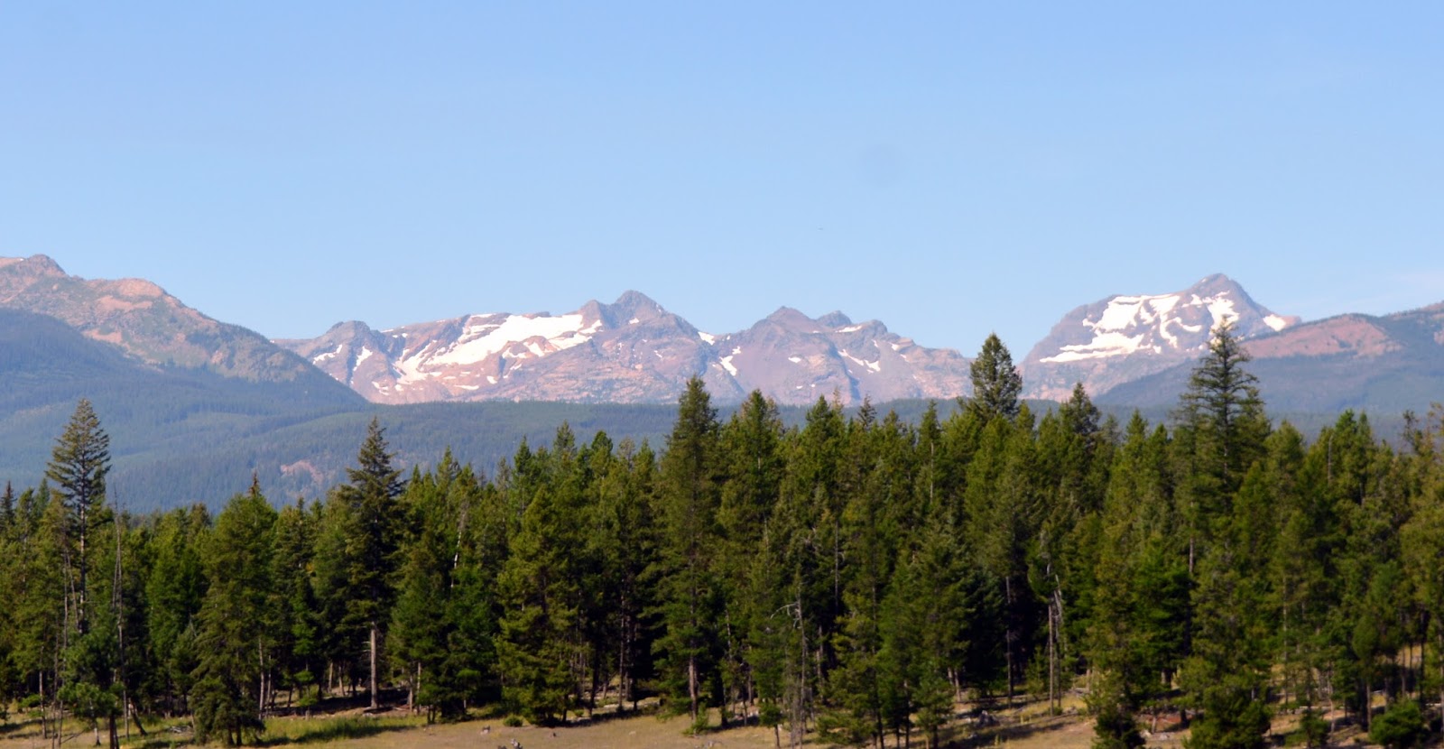
The next morning we checked out of our hotel to drive back to Colorado. This was our last look of Glacier National Park in the distance as we traveled south.  We would love to return one day to see and experience more of the park. We've visited many National Parks over the years, and Glacier has now become one of our favorites. It truly earned it's nickname as the "Crown of the Continent." Thank you for coming along on my blog for the journey!


Bookmark and Share