


The first stop was Carrickfergus Castle in the town of Carrickfergus. It represents over 800 years of military might. Besieged in turn by the Scots, Irish, English and French, the Castle saw action right up to World War II.

Built by John de Courcy in 1177 as his headquarters. Today it is maintained by the Northern Ireland Environment Agency as a state care historic monument.
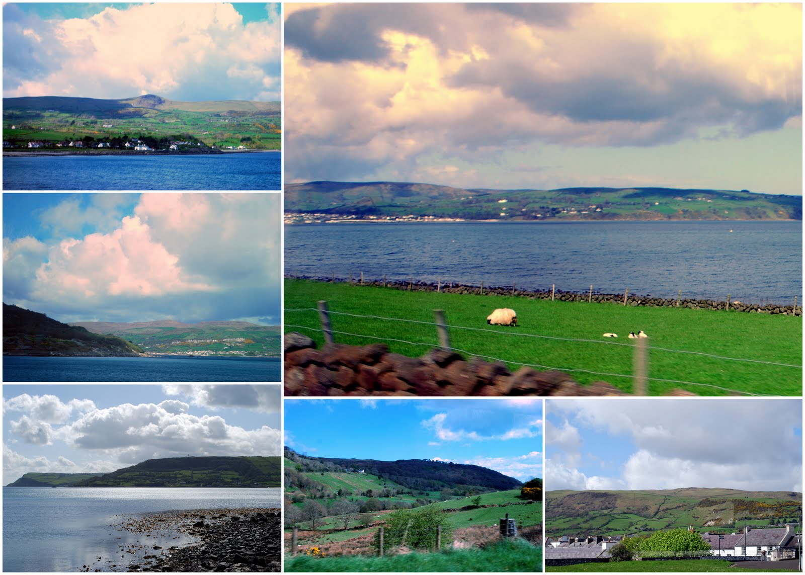
Most of the photos in the collage above were taken from my tour bus window (so please excuse the quality), and as you can see the drive around the coast and through the Glens of County Antrim is a magically beautiful view of one of the prettiest areas in Ireland. The Nine Glens of Antrim are Glenarm, Glencloy, Glenariff, Glenballyeamon, Glenaan, Glencorp, Glendun, Glenshesk, and Glentaisie.

Carnlough Harbour was our next stop. Carnlough is located at the foot of Glencoy. You can see limestone cliffs in the background. Limestone was exported from there until 1945 when the Glencloy quarries closed down,

Looking out from the harbor at the North Channel.

Another view of the bright blue North Channel Sea and the hamlets snuggled into the Glens of Antrim. The yellow bush is Gorse or Whin, and it is abundant this time of the year.

The town of Cushendun has a sheltered harbor and lies at the mouth of the River Dun and Glendun. The Mull of Kintyre in Scotland is only about 15 miles away across the North Channel and can be seen easily on clear days

In 2002 Cushendun erected this statue in memory of "Johann" -- the last goat to be culled here after the 2001 Hoof and Mouth Disease disaster that struck England and Northern Ireland. Ironically a live goat was sunning itself beside the memorial, much to the amusement of all on my tour bus!

On the mountain road above Ballycastle, you may see the mysterious Loughareema or the Vanishing Lake. The lake appears and reappears in a random manner. According to the Geograph website the "Loughareema sits on chalk and has a leaky bed. But the 'plughole' is bunged with peat and so the water can only percolate slowly down into the passage below. After heavy rain, the streams draining off the adjacent hills, which are of schist, overwhelm the plughole and the lake fills." The tour guide told us that the locals say it's haunted by the ghost of Colonel McNeil and his horses who drowned here in 1888 when water levels rose abruptly as he was traveling through one fateful day.

There were many spring lambs in the fields, and our tour guide told us that the number of sheep and goats were slowly coming back after the Hoof and Mouth disaster of 2001.

I could have stayed in this spot forever, as on one side I saw this view...

...and the other side this view of Larrybane Bay and Sheep Island.

We were off the bus and walking toward the Carrick-a-Rede rope bridge! Carrick-a-Rede means the rock in the road. This area near Ballintoy is the sea route for Atlantic salmon on their westward journey past Carrick Island. For over 350 years fishermen had strung a rope bridge 30 meters above the sea to allow them to access the best places to catch the migrating salmon. Today, the bridge is mainly used as a tourist attraction. It presents an exciting challenge to hundreds of thousands of visitors every year!

You may remember that I crossed this bridge with my husband a few years ago -- click here -- to read that post and see me holding on for dear life as I crossed over the bridge! This visit I decided to by-pass the bridge and continue walking up the coastline to take more photos.

The views were spectacular!

Looking back I could see my brave bus companions crossing over the rope bridge.

Just a few people at a time are supposed to cross in one direction to reduce the swaying of the bridge. In really windy weather it is closed for safety. Our guide told us that no one ever fell off the bridge, although there have been a few incidences of people crossing over the bridge and then being unable to cross back due to fear. They then had to be taken off Carrick Island by boat.

Soft fields and misty water views were at higher viewpoints.
I was so grateful to see this beautiful spot again!
A video I took of people crossing the bridge so you can see how much fun it is.
A video I took of people crossing the bridge so you can see how much fun it is.

We were back on the bus and on our way to see some more spectacular sights along Northern Ireland's Causeway Coast....tune in on my next post to see more!


 Posts
Posts





