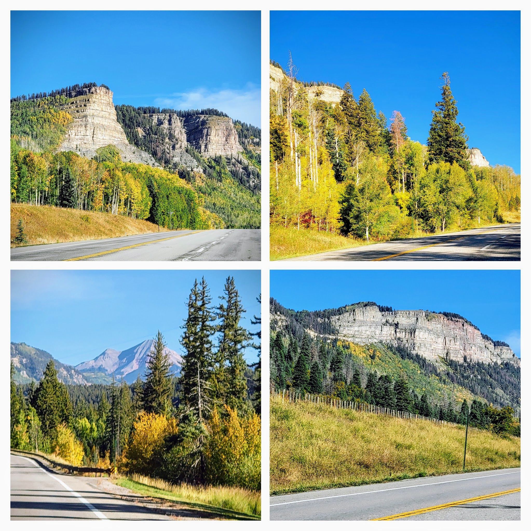
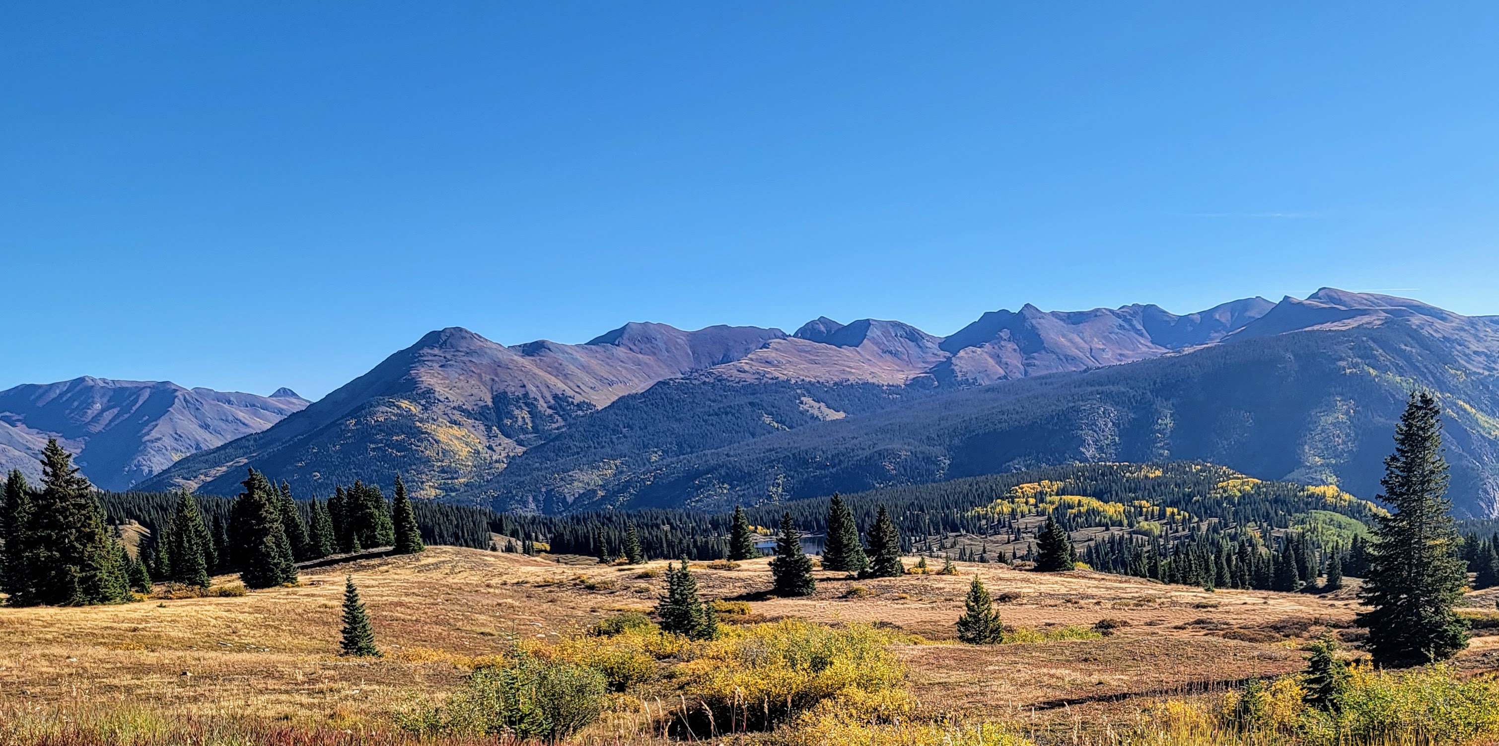
Showing posts with label Colorado Scenic Highways. Show all posts

Sunday, June 8, 2025

North Park Colorado and the Arapaho National Wildlife Refuge


Last week, I blogged about our drive west from the Fort Collins, Colorado area along the Cache la Poudre River Scenic Byway into North Park--click here to read that post.
North Park is a high, sparsely populated basin (approximately 8,800 feet (2,700 m) in elevation) in the Rocky Mountains in north central Colorado
It is an expansive valley that stretches from north-central Colorado into Wyoming. Weighing in at more than a million acres that are 65% public land, North Park’s lakes, rivers, and wetlands draw all manner of wildlife, and the area features some of the most remote and sparsely populated wilderness terrains in the state.


North Park is comprised of a vast basin that’s fed by the North Platte, Michigan, Illinois, and Canadian Rivers, and is flanked by the Park Range to the west, the Medicine Bow Mountains, and the Never Summer Mountains to the east.


With over 71,000 acres to explore, State Forest State Park offers a diverse landscape of forest, majestic peaks, and alpine lakes, all brimming with wildlife. Stretching from the western slope of the Medicine Bow Mountains to the northern end of the Never Summer Mountain Range, the park offers year-round activities such as snowmobiling, geocaching, birding, hunting, horseback riding, and many more in one of the most stunning natural settings in the state.


“Moose is our claim to fame,” reads a line from State Forest State Park’s website. North Park is hailed as the Moose Viewing Capital of Colorado. The site goes on to say that an average of 600 moose are observed in North Park annually. 
We did not see any moose during our drive, but we were still excited about the female moose and her yearling calf we viewed in Rocky Mountain National Park the day before--click here-- to read that post.


As we drove along ....


...we soon passed by the small town of Walden.


There were also many cattle ranches in this area.


South of Walden, we stopped at an overlook for the Arapaho National Wildlife Refuge. The refuge sits at elevations as high as 8,700 feet, making it the highest animal refuge in the National Wildlife Refuge System in the continental US. The refuge’s habitats, which include irrigated meadows, riparian, sagebrush uplands, wetlands, and mixed conifer and aspen forests, host an abundance of diverse wildlife species.


The overlook view was magnificent!


The winding blue Illinois River fills the Arapaho National Wildlife Refuge, traveling through sagebrush and native grasses.


Please click on the photo to enlarge it to read the information on the placard.

The refuge was established in 1967 to furnish waterfowl with a suitable place to nest and rear their young. It was created in part to offset losses of nesting habitat in the prairie wetland region of the Midwest.


Please click on the photo above to read this refuge exhibit, one of many placards on site, to read how the North Park basin was formed 45 million years ago! 


The top wall of the overlook also had many informational plaques to read.


Please click to enlarge the photo.

The refuge is also home to elk, beaver, pronghorn, and porcupine.
To protect the fragile wildlife habitats it hosts, the refuge consistently closes much of the area to visitors, but a 6-mile self-guided auto route is open for year-round visitor activities and stunning scenic overlooks. We wished we had time to explore more, but vowed to return one day to see more of the refuge and North Park.


We loved seeing North Park and its natural ruggedness.

As we drove home, we passed the town of Granby and saw the headwaters of the Colorado River, and also sadly, the remains of the 2020 East Troublesome Wildfirethe second-largest wildfire in the history of Colorado.


Next, we passed through the ski town of Winter Parkwhere the slopes were still full of snow during our trip at the end of April.


We could have driven an hour home directly from Fort Collins, but taking the Cache La Poudre to North Park Scenic Byway-- Highway 14--was well worth the extra three-hour drive, as we passed through so many wonderful sights. 
I hope you enjoyed seeing them in my blog posts over the past few weeks!


Monday, February 17, 2025

A Winter Drive on the Peak to Peak Scenic and Historic Byway

When my dear friend Rosemary visited us from New York last March--see my last blog post--we drove north from our visit to Red Rocks Amphitheater to Golden, Colorado, and then west on US 6 through Clear Creek Canyon. The canyon road runs parallel to a portion of Clear Creek, famous as the location of the most intense early mining activity during the Colorado Gold Rush of 1859.  When we reached the town of Black Hawk we turned onto the Peak to Peak Scenic Byway that runs 55 miles along the foothills and valleys along the Front Range with views of the Continental Divide. Established in 1918 it is Colorado's oldest scenic byway.


We have driven this scenic byway many times in the past--you can see some of those posts on this link. 


The beautiful views of the Colorado Rocky Mountains along Peak to Peak never cease to take my breath away!


The Peak to Peak Scenic Byway passes through Allenspark, Ward, Nederland, and Rollinsville, in addition to some smaller communities along the way.


Our final destination was at its terminus in Estes Park where we were going to enter Rocky Mountain National Park.


Please click on the photo to enlarge it

We stopped briefly to look at an informational Placard about the Peak to Peak Scenic and Historic Byway.


Soon we approached the town of Allenspark and St. Malo Chapel on the Rock completed in 1936. This small, stone Catholic chapel is open to the public.


The Chapel on the Rock is located at Camp St. Malo and the chapel’s official name is St. Catherine of Siena Chapel. The chapel is framed against the majestic Mt. Meeker – 13,911 feet. In 1999 Boulder County designated the chapel an Historic Site.


We stopped to visit the chapel. An interesting fact about the picturesque chapel is that Pope John Paul II prayed at the chapel during his visit to Denver for World Youth Day in 1993; he blessed the chapel afterward. The pope later hiked in the surrounding woods and spent some time at the Saint Malo Retreat Center.


We stopped again for a few moments at this scenic viewpoint of Longs Peak-- at 14,256 feet (4345.22 m) it is the highest mountain peak in Rocky Mountain National Park.


As we approached Estes Park we had a nice view of the famous Stanley Hotel in the distance. A stay in this haunted hotel was the inspiration for Stephen King's novel The Shining. My husband and I stayed in the Stanley for a special anniversary and I think I might have captured a ghost in one of my photos--click here--to see that post.


We finally arrived at Rocky Mountain National Park! It was a windy and cold day but I wanted to show Rosemary one of our favorite places in Colorado. More about our visit in my next blog post.

I can also be found on


Sunday, October 15, 2023

A Drive on the Million Dollar Highway in Colorado


After spending a day in Durango, Colorado, to take a ride on the scenic Durango to Silverton Narrow Gage Railroad--see the blog post about that on--this link--my husband and I decided to take a scenic drive on US Route 550, which in Colorado has the nickname "The Million Dollar Highway," and it is also a portion of the San Juan Skyway, on a loop that takes one through old mining towns, spectacular scenery, and exhilarating twists & turns. This loop of state-maintained highway goes through the San Juan Mountains.


Otto Mears built a portion of the highway connecting Ouray to Silverton in the late 1880s as a toll road, and it is now one of the most spectacular drives in the USA. There are a few different stories surrounding the road’s colorful name. One legend states that the road was built using a million dollars worth of gold and silver tailings. At the same time, another claims the nickname originates from an exhausted traveler who proclaimed: “I would not travel that road again for a million dollars!"


We were taking our drive during the last week in September, and we were worried that the aspen trees would not have changed into their glorious autumn yellows and golds as yet, but for the most part, the autumn colors along the ride were beautiful!


We even saw some bright orange color along the way which is the last color that many of the aspen leaves change to before falling.


The drive soon took us over two high mountain passes, Molas Pass and Coal Bank Pass, that had scenic panoramic views!


The autumn colors became more plentiful and brighter the higher elevations that we traveled.


Looking closely towards the bottom of this photo you can see US Route 550 cutting across a ridge in one of the mountains.


Many of the San Juan Mountain tops can be viewed here.


The lush thick San Juan Forest went on for many miles.


A view of the historic gold mining town of Silverton in the distance--you can see the road swinging around a mountain that is going towards the town on the left side of this photo.


I liked this photo as it shows how I took many of the 500-plus photos I took during our drive. Thank goodness for fast camera shutters!


Colorful mountain views along the way.


Please click on the photo to enlarge it to read the signs.

We passed by Silverton, as we had visited it when we took the Durango to Silverton Railroad the day before. It is an active town and open year round.


More beautiful autumn color on a cloudless bright blue sky day.


A bit of old mining presence still stands among the gorgeous scenery.


A view looking back at the road as we rise up in higher elevation again.


The Million Dollar Highway earns its reputation as being full of twists and turns with few to no side rails and full of scary cliffside drop-offs. Thank goodness my husband has nerves of steel!


But despite being a bit scary at times the drive is well worth taking to see the views!


We "oohed and ahhed" at the aspen colors along the entire drive! 


So much autumn color surrounded us!


As we approached Ouray the road got especially curvy and mountainous. The Million Dollar Highway climbs up and over Red Mountain Pass, with a summit of 11,075 feet (3.358m), before clinging to the stunning, steep canyon walls of Uncompahgre Gorge as it makes its descent into Ouray.


In the short video above, you can catch a glimpse of a stretch of road that we were fortunate to be driving on the mountainside, rather than in the opposite direction where the road's edge is perilously close to a deep gorge.


Ouray, known as the "Switzerland of America," offers up picturesque mountain views. We visited Ouray in 2016, in late November, and drove a portion of The Million Dollar Highway then--click here-- to see that post and what the road looked like with winter snow and ice on it.


Ouray is a charming high alpine community sitting at 7,800 feet (2377 meters) in elevation. Set in a geographic bowl formed by rugged and steep mountainsides that lead up to jagged 12,000 to 13,000-foot-high (3962 meters) peaks with several creeks cascading down through valleys and canyons into the city. It is also known for its hot springs and ice climbing at the Ice Park!


"Everyone must take time to sit and watch the leaves turn." 
~ Elizabeth Lawrence 

I am going to take this advice and I will be taking a short blog break. Enjoy autumn if you are in this hemisphere or spring if you are in the southern hemisphere. 

Please pray for world peace during these sad and trying times.