


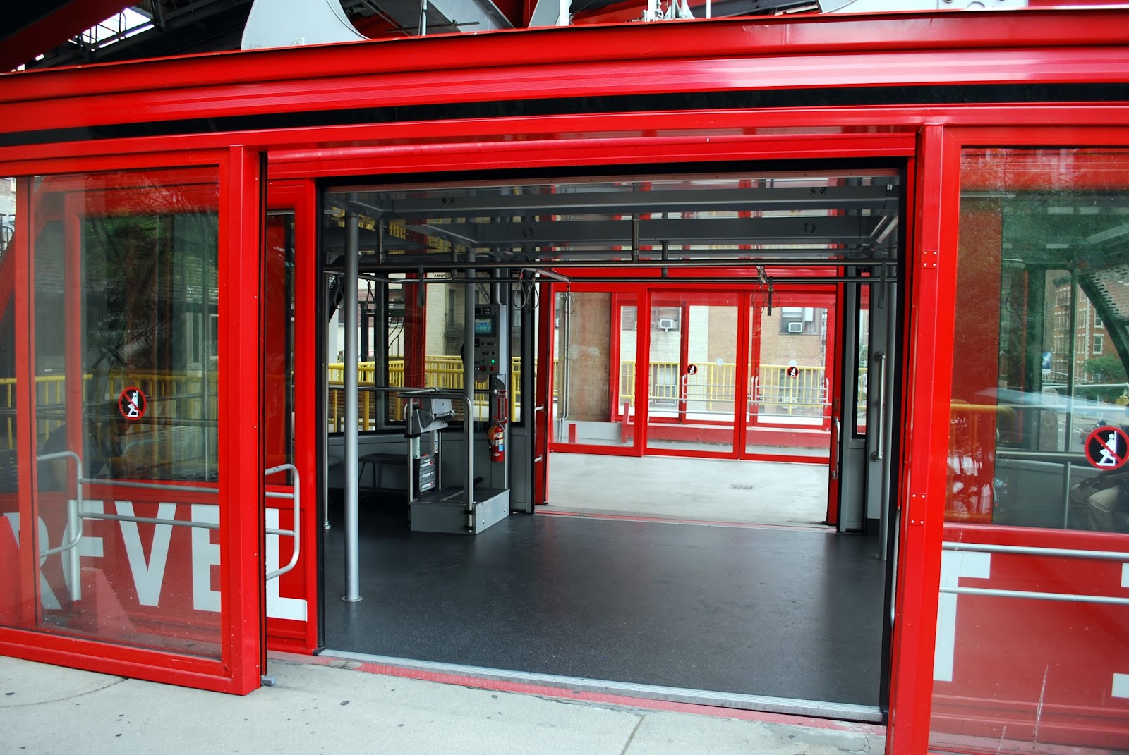
A view of the island from the Roosevelt Island tram.
Roosevelt Island is positioned between Manhattan on its west and Queens on its east. The waterfront community runs 2 miles in length and extends from east 46th street to east 85th street. It is comprised of a predominantly middle class, a diverse population of fewer than ten thousand people who live in affordable, and spacious, high rise buildings. There are abundant parks on the island, but it lacks major shopping amenities and nightlife venues that attract many people, but this fact also gives it a quiet, suburban quality of life very close to Manhattan.

The island was not designed for automobile traffic, and they are not needed on the island, although there are roads and cars are permitted. The Roosevelt Island Operating Corporation (RIOC) operates an on-island shuttle bus service from apartment buildings to the subway and the tramway for a fare of 25¢ (10¢ for seniors and disabled people). One of these bright red buses can be seen in the photo above.

Roosevelt Island has a varied and interesting history. It was once named Blackwell Island, then became known as Welfare Island and finally renamed in honor of the 32nd United States President Franklin D Roosevelt in 1973. An FDR Hope Memorial is being constructed in a park on the island.
(The above photo--and all of my photos on this post--can be enlarged by clicking on it and then clicking on it again when it opens on a new page. Use your browsers back arrow to return to this post.)
The following interesting historical information about Roosevelt Island came from this web site: "Before the City of New York bought the two-mile-long island for $32,000 in 1828, this stretch of land passed through many hands. Dutch Gov. Wouter Van Twiller first purchased it from the Canarsie Indians in 1637 and called it Hog Island. The purchase was later declared void by New York Governor Peter Stuyvesant, and the island went to Capt. Francis Fyn. But Fyn's ownership didn't last long. When the English defeated the Dutch in 1666, Captain John Manning seized and re-baptized the island with his last name. But 20 years later, Manning's son-in-law, Robert Blackwell, became the island's new owner and namesake. That name stuck for 235 years; meanwhile, Blackwell's great-grandson Jacob constructed the Blackwell House in 1796."
(The above photo--and all of my photos on this post--can be enlarged by clicking on it and then clicking on it again when it opens on a new page. Use your browsers back arrow to return to this post.)
The following interesting historical information about Roosevelt Island came from this web site: "Before the City of New York bought the two-mile-long island for $32,000 in 1828, this stretch of land passed through many hands. Dutch Gov. Wouter Van Twiller first purchased it from the Canarsie Indians in 1637 and called it Hog Island. The purchase was later declared void by New York Governor Peter Stuyvesant, and the island went to Capt. Francis Fyn. But Fyn's ownership didn't last long. When the English defeated the Dutch in 1666, Captain John Manning seized and re-baptized the island with his last name. But 20 years later, Manning's son-in-law, Robert Blackwell, became the island's new owner and namesake. That name stuck for 235 years; meanwhile, Blackwell's great-grandson Jacob constructed the Blackwell House in 1796."

The Blackwell House still stands on Roosevelt Island, having been restored by the New York State Urban Development Corporation in 1975, and is a beautiful example of the early 18th-century architecture. It is now used as a community center. Views of the front and rear of the house and it's eastern walkway can be seen in the photo collage above.

A plaque on the exterior of the Blackwell house tells of the island's history.

Over the course of a century, Blackwell Island became a center for the city's castaways. In 1832, a penitentiary was built for half of what the city initially paid for the island. Seven years later, the New York Lunatic Asylum, overcrowded with some 1,700 patients, was exposed by early undercover journalist Nelly Bly as a place of abuse and misery." The photo and text above from this website shows the Welfare Penitentiary in 1932.

In 1856, a Smallpox Hospital opened on the island, The ruins of this hospital can be seen above. The imposing gothic structure was emptied of patients in 1886 and was used both as a nurse home as well as The Maternity and Charity Hospital Training School. Other public health and charity institutions built in this period include the Charity Hospital and Alms House Buildings. The city changed the island's name to Welfare Island in 1921, a reflection of the general nature of its use at that time.

More views of the abandoned smallpox hospital. It looks rather eerie, doesn't it?

This area of the island is now parkland and the sign above tells more about the history of the island.


Another pretty park on the island was called the Cherry Tree Walk.

It was a pretty red brick walkway lined with cherry trees located along the shoreline that lead under the Ed Koch/Queensboro Bridge to the southern part of the island.

There were spectacular views of Manhattan from the walkway's vantage point, including a wonderful close up of the United Nations complex.

There are many other fabulous sights of Manhattan skyline from all vantage points of the west side of the island.

From the east side of the island, the Long Island City neighborhood of Queens can be seen, including the iconic Pepsi Cola sign. As you can see many new high rise condos and apartments are also becoming popular styles of housing in this neighborhood.

The traffic on the East River was also interesting to see! The Circle Line Sightseeing boat is in the upper left of the photo collage above; a speed boat in the upper right; a US Coast Guard boat in the lower left and my favorite sighting was a red tug boat, seen in the lower right of the photo collage.

There is one subway stop on Roosevelt Island, the F train, which opened in 1989. The bicycles above are in front of the station entrance. It is one of the deepest stations in the New York City Subway, at about 100 feet (30 m) below street level.

Another beautiful landmarked building on Roosevelt Island is The Chapel of the Good Shepherd. The chapel's central location has made it a regular host of religious, governmental, and social functions. In this space, the island's Catholic and Protestant congregations worship, town meetings are held, and instrumental groups perform. Community groups and various support and spiritual groups gather in the chapel.

On the northernmost tip of the island is another park called Lighthouse Park, which contains this beautiful little lighthouse.

This fifty-foot tall lighthouse was called Blackwell, Welfare or Roosevelt Island Light, according to what era. It was built in 1872 by inmates of the penitentiary with stone extracted from the island.
The lighthouse was designed by James Renwick, Jr., architect of the Smallpox Hospital and the Smithsonian Institute. The East River channel's huge granite boulders made it very treacherous to navigate so the lighthouse was commissioned as part of a solution for New York City's shipping ports along with an Army Corps of Engineers project to demolish and implode boulders and widen and deepen the channel. Lighthouse Park is now a lovely fishing and barbecue destination on Roosevelt Island.
I really enjoyed visiting Roosevelt Island and learning more about it, and I hope you did too! It is one of the lesser known gems of New York City, but definitely worth a visit....take the tram!






 Posts
Posts





